3D Transformative Digest | Designs by Modish
The Photograph Arrives Before the Inspector
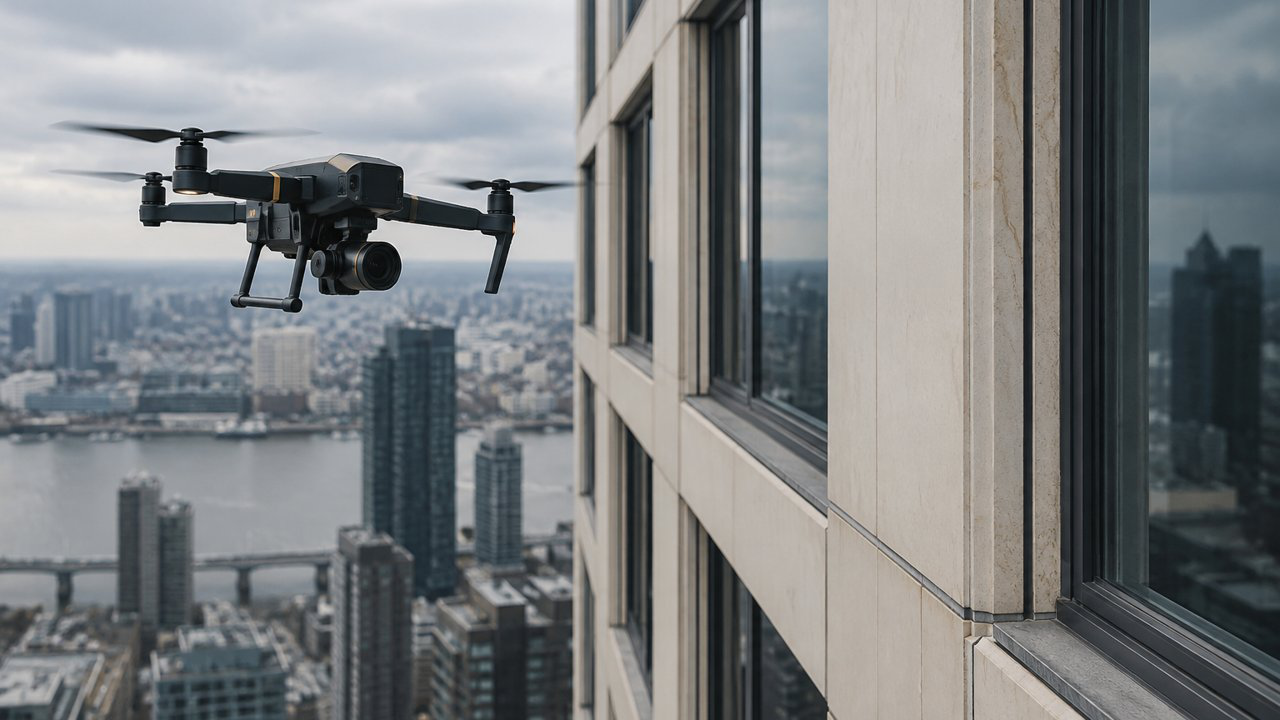
A property owner receives a folder of high-resolution images. Every elevation is visible. A few spots appear discolored; one sealant joint looks open. The images are sharper than the view from the street and arrived without a scaffold or a swing stage. The owner asks the obvious question: does this mean the facade has been inspected? It means a camera recorded visible conditions from particular viewpoints. That can be valuable. It can help map observations, compare areas, and identify where a qualified professional should look more closely. But an image is not the same as a hands-on examination, and a large number of photographs is not the same as an engineering conclusion. New York City's Department of Buildings reviewed the safety and feasibility of using drones for facade inspections. Its report explains that drone imagery can provide photographs and location information, but cannot replace required physical examination methods such as sounding and probes. The department also emphasizes that collected data must be reviewed and analyzed by qualified professionals before it informs maintenance and repair decisions. Those findings are specific to the city's facade inspection framework, but the distinction travels: capture is one stage; professional assessment is another.
Start with the Decision the Inspection Must Support
Before the aircraft launches, the owner and inspector should agree on the question. Is the goal to document a facade after a storm, screen a large portfolio for visible changes, locate areas for close-up inspection, or satisfy a particular statutory program? Different purposes require different coverage, image resolution, access, and professional involvement. A useful plan defines the building faces, rooflines, setbacks, balconies, parapets, and appurtenances to capture. It accounts for the camera distance, lighting, weather, obstructions, reflections, and the building's materials. A glossy glass facade can reflect sky and neighboring buildings; a close camera angle can hide a sealant joint behind a mullion. The operator should record where the aircraft could not safely or lawfully reach and what areas remain unseen. The plan should also name the people responsible. A remote pilot can safely collect imagery under the applicable operational rules. A facade professional or engineer determines the inspection scope and interprets the evidence within their competence. If these are different people, they need a shared identification scheme so that a location in the report corresponds to a location in the image set.
An Image Is Not a Probe
Many conditions have visual signatures. Missing or displaced material, open joints, staining, deformation, and visible cracking may appear in a photograph. Other questions require touch, measurement, opening, sounding, or testing. A drone cannot determine what lies behind cladding, whether a fastener is loose beneath a cover, whether a crack is active, or how an assembly performs under water pressure merely by producing a detailed image. The professional should state what the image can support. For example: "visible staining below the third-floor sill at gridline B; close-up assessment recommended" is more useful than "water intrusion confirmed" if no water pathway was verified. A photo may identify a priority location without establishing cause, severity, or repair design. A thermal image, if used, adds its own limitations around emissivity, weather, surface conditions, and interpretation. The order of operations matters. Use broad visual coverage to locate areas of interest; have a qualified person review and map them; then select close-up inspection, testing, or opening where needed. This can focus access work and make it more efficient. It should not be sold as proof that hands-on methods are no longer necessary.
Preserve the Chain from Image to Finding
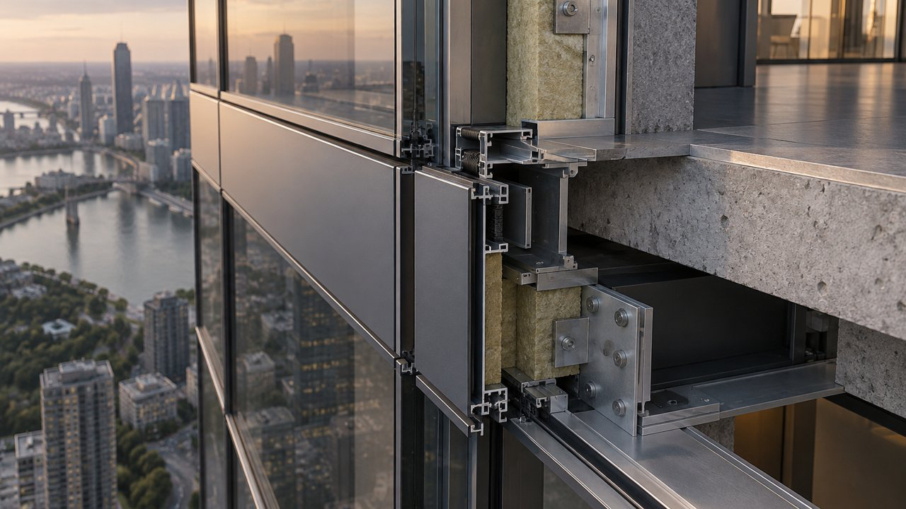
A dependable image record has more than timestamps. It identifies the building, elevation, floor or grid reference, camera direction, capture date, and the source image. Keep original files, not only compressed exports inserted into a report. Maintain a consistent naming scheme across drone imagery, inspection notes, drawings, and repair tickets. If image processing changes contrast or sharpness, retain the original and record the adjustment. For each reported condition, include an overview image that establishes location and a closer view that shows the detail. Note distance and image limitations when relevant. If a defect is obscured by a tree, sun glare, window reflection, or access restriction, say so. A reviewer should not have to infer whether an empty area in the photo means "no defect" or "not visible." The report should also separate what was observed, what was inferred, and what action is recommended. The owner can then decide whether to obtain immediate protection, schedule a hands-on review, or monitor a stable condition. A risk manager can share an organized package with the insurer without presenting a drone survey as a warranty of facade safety.
What to Ask for in the Deliverable
A useful scope names the building faces, capture distance, image resolution, coverage gaps, file format, and location-reference method. It says whether the work is a visual survey, a post-event record, or an input to a legally required inspection. Those categories should not be blurred. If the owner has a statutory inspection obligation, confirm the local rules and who is qualified to complete and sign the required report. Ask for original image files, not only screenshots inside a PDF. Each file should map to an elevation, floor or grid reference, and direction of view. The report should include an overview image and close views of each flagged condition, plus notes about lighting, reflections, distance, and areas the aircraft could not reach. If processing or image enhancement is used, preserve the original and disclose the transformation. The handoff should identify who reviewed the imagery and what decision they are prepared to support. A pilot can describe capture conditions and operational constraints; a facade consultant can interpret visible conditions within their competence; a licensed professional can determine whether additional examination is needed. A single report may include all three roles, but it should not imply that image capture itself supplied every form of professional judgment.
Plan for Safety and Context
Drone use has operational limits. Airspace, local restrictions, wind, rain, obstacles, privacy, and proximity to people affect whether a flight can be performed safely and lawfully. Confirm the operator's qualifications and applicable rules rather than assume a small camera makes access unrestricted. A facade survey may require street permits, tenant coordination, or a safety perimeter even without a lift or scaffold. The capture plan should protect occupants and neighbors. Avoid recording more of a residence or adjacent property than the inspection needs. Explain how images will be stored, who can see them, how long they will be retained, and whether they will be used beyond the building assessment. A good operation begins with a preflight review and contingency plan. If wind or glare makes imagery unreliable, rescheduling is better than delivering a high-resolution record that conceals its limitations. Capture quality matters, but it is subordinate to safety and accuracy.
Use the Aircraft as a Tool, Not a Conclusion
Drones can change the cost and logistics of seeing a building. They can document difficult-to- reach elevations, help compare conditions over time, and reduce the need to begin every investigation with a large access installation. Their value depends on the question, the operator, the image plan, and the professional interpretation that follows. The practical brief is straightforward: define the decision; capture what can be seen; identify what cannot; map each observation to the building; and send unresolved issues to the right examination method. That protects the owner from overreading an image set and protects the inspector from being asked to certify more than the work established. A drone can put a high-resolution camera close to a wall. It cannot replace the professional judgment that decides what the wall is telling us, or what must happen next. A useful aerial survey can make the next site visit more focused, but it should not replace access where access is needed. Treat the image as one record among others: dated, located, reviewed by a qualified person, and explicit about what the camera could not establish. The camera and the inspector are not competing for the same job. One tells you where to look. The other tells you what it means, and only a licensed set of eyes can make that second call stick.
Leave a Reply